The Solomon Islands Meteorological Services has recently recruited an oceanographer, a first amongst National Meteorological Services (NMS) in the Pacific. This milestone reaffirms the Solomon Islands’ commitment to the Pacific Island Meteorological Strategy (PIMS) objective 2, Improved marine weather and establishment of ocean services, and to UN Sustainable Development Goal (SDG) 14, “Life below water.” The targets for SDG 14 include increasing scientific knowledge and research capacity in Small Island Developing States.
Meet Danny Shadrech, Oceanographer with the Solomon Islands Meteorological Services

What inspired or motivated you to take up this career path?
My love for the ocean waves and currents at my own village in Choiseul has motivated me to take up the study of Oceanography. The eagerness to try to understand the drivers of waves and currents and having questions such as why, what and how the waves and currents moves has given me the motivation to study the ocean.
What ocean information needs does Solomon Islands have?
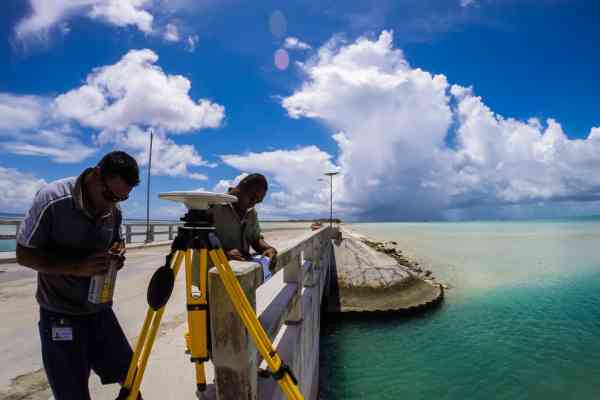
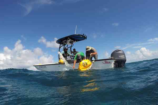
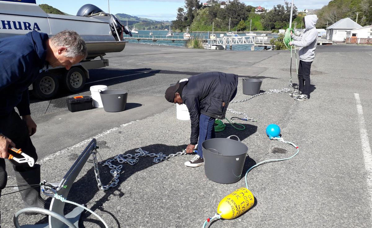
There is a lot of ocean information needed for my country. The first and probably one of the very important information is to have in-situ ocean data such as Sea Surface Temperature (SST), coastal and local current strength and direction, bathymetric maps of our shores, ocean depth and other ocean-related information. This is something that we could use to validate and verify the models our Climate and Ocean unit and our Forecasting section use.
The other major information is the coastal and offshore current information. We need coastal and ocean current information so we can be able to trace sunken Outboard Motors (OBM) during bad weather when we embark on search and rescue mission. We need coastal current information to understand coastal erosion on our very own shores and to develop strategy and make the right decision when embarking on a project related to coastal areas. Coastal current information is needed by investors investing in tourism in the islands to make better decisions on where to establish their tourism sites. Coastal currents are responsible for shifting coastal sand, changing their location every now and then; thus this information is very important to decision makers. Not only that, we need bathymetric information of our country, especially the passageways and harbours, as vessels pass through and berth respectively.
What do you hope to bring to the Met Office with your expertise?
As an Oceanographer, [I will be] adding new and extra information onto our products such as the Ocean Bulletin which we will begin issuing to our customers every three months. I would like to connect our weather office to other private and government sectors that deal with ocean and seas such as Solomon Island Ports Authority (SIPA) and Solomon Island Maritime Safety Administration (SIMSA). This will help our team to get to know what instruments they have and how we can work together with them to collect oceanographic data using their instruments. Those are just some of the work I hope to be doing and add to the pre-existing services. My current job is dependent entirely on the availability of the resources, but I’m looking forward to driving our team forward to improve services.
What advice would you give to young people wanting to take up a career in the field of oceanography?
Since Oceanography is a broad study, depending on what you are interested in, my advice would for young people who would want to take on Oceanography to do all the basics science courses such as Math, Physics, Chemistry, Biology, Geography, Computer Science and Geology. A basic understanding of these science courses would help them decide which Oceanography pathways they would want to follow. For example, for myself having an interest on Math and Physics, I’ll be pursuing Physical Oceanography as this is the pathways that uses Math and Physics and applies them to understand the physical properties and processes of our ocean. If their interest lies in chemistry, they can pursue Chemical Oceanography. Having an interest on Biology, they can pursue Biological Oceanography, whereas having interest on Geography and Geology, they can pursue Geological Oceanography. Lastly, is to work hard academically, and not to forget to Put God First in your study.
The need for oceanographers and ocean services
The Pacific Island region is 98% ocean and Pacific Islanders are custodians to 20% of the Earth’s ocean space. We rely on the ocean as a vital source of sustenance, transport, commerce, economic growth, cultural heritage, and inspiration.
Sectors such as fisheries, agriculture, tourism, shipping and maritime, national disaster management offices to name a few, relay on reliable and accurate ocean information and data for proper planning and decision-making.
National Meteorological Services in the region provide ocean services alongside climate services. The Pacific Community’s Ocean and Maritime Programme is supporting NMSs to build and apply ocean information and data for the benefit of Island governments and communities. The Australian-funded Climate and Oceans Support Program in the Pacific (COSPPac) has contributed significantly to this effort in supporting sea-level monitoring, development of the Pacific Ocean Portal, and associated training programs on ocean observation and applied science for NMSs.
“The ocean has a major influence on the weather and climate in Pacific Island countries,” says SPC’s Team Leader for Ocean Literacy and Maritime Capacity, Molly Powers-Tora. “It’s important that all meteorological officers have some exposure to oceanography, but met services, particularly the advanced ones in the region, really benefit from having their own marine meteorology and oceanographic specialists in-house.”
The Solomon Islands Meteorological Service is leading the region in this regard, but other NMSs have made significant progress in improving ocean services in recent years. With support from SPC, Fiji and Tuvalu Met Service have developed local wave models for forecasting, Tonga Met Service is installing wave buoys and tide gauges to better understand their local ocean dynamics, and the Met Services of Samoa, Kiribati, Tuvalu, Tonga, and Vanuatu have all developed ocean outlooks.
“We are working closely with the Pacific Meteorological Council, regional partners, and projects to boost oceanographic capacity of Pacific Met Services,” says Powers-Tora. “And with the UN Decade for Ocean Science fast approaching, there is no better time to invest in ocean science for sustainable development!”