(Contenu disponible en anglais uniquement)
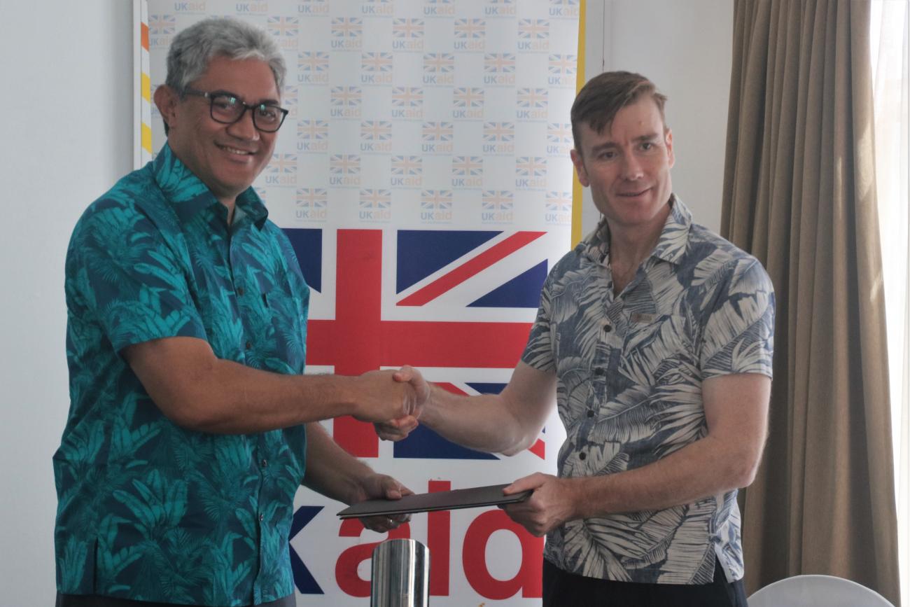
On the 29th of July, the UK Government signed an agreement to continue their partnership with Pacific Island Countries through the UK-Pacific Extended Continental Shelf (ECS) Project to secure maritime zones. The UK will contribute an additional £351,000 [FJD 930,000] to the project, implemented by the Pacific Community (SPC).
The Pacific Community as the coordinator for the work of Maritime Boundaries alongside Pacific countries and territories recognises the critical importance this funding brings to the region and sovereign rights of nation states.
“Until these gaps in the world map are closed, Pacific Island countries may not be in a position to fully protect their interests and achieve their blue economy aspirations,” said Dr Paula Vivili, SPC Deputy Director-General Science and Capability. “Establishing ownership of these ECS areas is crucial for the stability and development of Pacific Island countries.”
Pacific Island Countries (PICs) are the custodians of 20% of global maritime zones. To optimise the management, use and conservation of this vast ocean space, they require certainty over their maritime zones as defined by the United Nations Convention on the Law of the Sea (UNCLOS). This includes the extended continental shelf (ECS) areas beyond their 200 nautical mile exclusive economic zones (EEZs).
Over the last year, a regional training session was convened, ECS information updated and formally launched on the new Pacific Maritime Boundaries Dashboard and, most significantly, Fiji a beneficiary of the project, has completed the preparation of its partial submission for the South Fiji Basin, a seabed area of approximately 226,000 square kilometres.
“This work has been more than 10 years in the making due to the substantial technical, scientific and legal nature of the work required for ECS submissions. We are extremely grateful to the UK Government and Pacific Community for their support as it has finally enabled us to complete this report.” said Lieutenant Commander Gerard Rokoua, a member of the Maritime Affairs Coordinating Committee.
In March this year, nine technical officers from Fiji’s Maritime Affairs Coordinating Committee received specialised software training to map and define the extent of Fiji’s maritime zones, including extended continental shelf areas. Several months of technical work in partnership with a consultant have followed, and today the team are finalising the submission report for Government approval.
British High Commissioner to Fiji, Dr Brian Jones said,
“I am delighted to continue UK partnership with this vital project for a second year. I am particularly pleased that our partnership over the last year has enabled Fiji to complete its partial ECS submission for the South Fiji Basin. This year, the project will continue to support Fiji, Vanuatu, Solomon Islands, and Tonga to secure the rights and responsibilities over their respective large ocean spaces. This will directly enable sustainable use of marine resources to generate income and create employment.”
Currently, there are 10 PICs with 9 ECS claims and 6 preliminary information notes at various stages awaiting examination by the international Commission on the Limits of the Continental Shelf (CLCS).
The Pacific ECS project contributes to the broader Pacific Maritime Boundaries programme of work coordinated by SPC and supported by a consortium of partners, including the Pacific Islands Forum Secretariat, the Office of the Pacific Ocean Commissioner, the Pacific Islands Forum Fisheries Agency (FFA), the Australian Department of Foreign Affairs and Trade (DFAT), Geoscience Australia, Attorney General’s Department- Australia, University of Sydney, New Zealand Ministry of Foreign Affairs and Trade (MFAT), GRID-Arendal, as well as the European Union and Sweden through the Pacific European Union Marine Programme (PEUMP).
Media contact(s):
Vosita Kotoiwasawasa| UK high commission | Phone Contact: 7077690 |Email: [email protected]
Merana Kitione, Capacity Development and Communications Officer | Geoscience, Energy and Maritime Division |Pacific Community| Email: [email protected]