(disponible en anglais uniquement)
More than 1,800 Tide Prediction Calendars for 23 Pacific locations were distributed this week to National Meteorological Service offices and other coastal users around the region. These annual calendars are a popular product of the Australian-funded Climate and Oceans Support Program in the Pacific (COSPPac) and are designed and produced in the region by the Pacific Community (SPC)’s Geoscience, Energy and Maritime (GEM) Division.
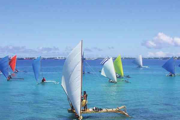
Tide predictions are critical information for a range of regional users from shipping companies and tourism operators, to local fishermen and disaster managers. A survey completed this year by 94 ocean focal points from 14 Pacific Island countries indicates that 84% of users consider the tide calendars to be a highly valuable resource for themselves or their work.
“Solomon Islands Ports Authority request the tide calendar to monitor the tide for big ships coming to the port,” reports Lloyd Tahani, Deputy Director of Solomon Islands Meteorological Service.
“I use this regularly to make decisions involving boat trips and voyage planning,” says a Fiji-based tourism provider.
Tuvalu Fisheries Department reports using the tide calendar “every week for surveillance and patrol of the Marine Protected Area.”
Calendar predictions are calculated by the Australian Bureau of Meteorology’s Tidal Unit with information from the Pacific Sea Level and Geodetic Monitoring stations and a number of additional tide gauges around the region.
This year, with data from SPC and University of Hawaii gauges, COSPPac was able to produce three additional 2019 tide calendars for Kanton and Kiritimati in Kiribati and Vaitupu in Tuvalu.
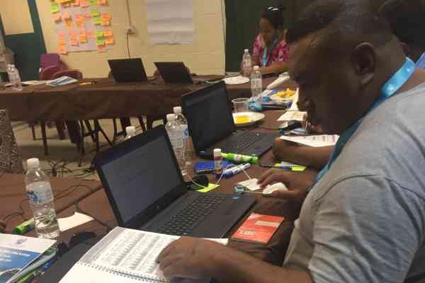
Pacific National Meteorological Services (NMS) typically serve as distributors of these calendars. In addition, to promote better understanding of this ocean information, seven NMSs have hosted in-country Ocean and Tides Workshops over the last three years.
In the Solomon Islands, Cook Islands, Marshall Islands, Tuvalu, Tonga, Niue, and Samoa, the workshops have brought together national focal points from fisheries, shipping, disaster, coastal planning, marine and ports, conservation, tourism, and other ocean-related sectors to learn about ocean science and discuss applications for ocean data such as tidal predictions.
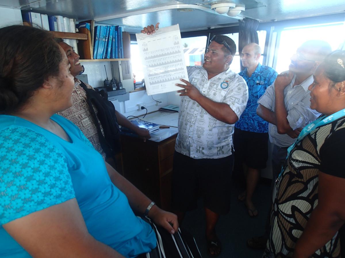
Training includes analysis of the local Tide Prediction Calendar and discussion of tidal phases, attributes, and local tidal knowledge.
“For me personally, I am now able to understand tides, especially with the tide calendars,” said Mr. Robin Hekau, of Niue National Disaster Management Office, following the workshop in March 2018. “Before I would get a copy and would never look into it deeply but now I am able to read it and understand it more.”
2019 Tide Prediction Calendars are available for the following locations: Rarotonga, Cook Islands; Pohnpei Harbor, Federated States of Micronesia; Lautoka, Fiji; Suva, Fiji; Betio, Kiribati; Kanton, Kiribati; Kiritimati, Kiribati; Majuro, Republic of the Marshall Islands; Aiwo, Nauru; Alofi, Niue; Malakal, Palau; Lombrum, Papua New Guinea; Port Moresby, Papua New Guinea; Apia, Samoa; Honiara, Solomon Islands; Lata Wharf, Solomon Islands; Tarekukure Wharf, Solomon Islands; Nuku’alofa, Tonga; Neiafu, Tonga; Funafuti, Tuvalu; Vaitupu, Tuvalu; Port Vila, Vanuatu; Luganville, Vanuatu.
Predictions can also be downloaded from the Pacific Ocean Portal or the Australian Bureau of Meteorology website.