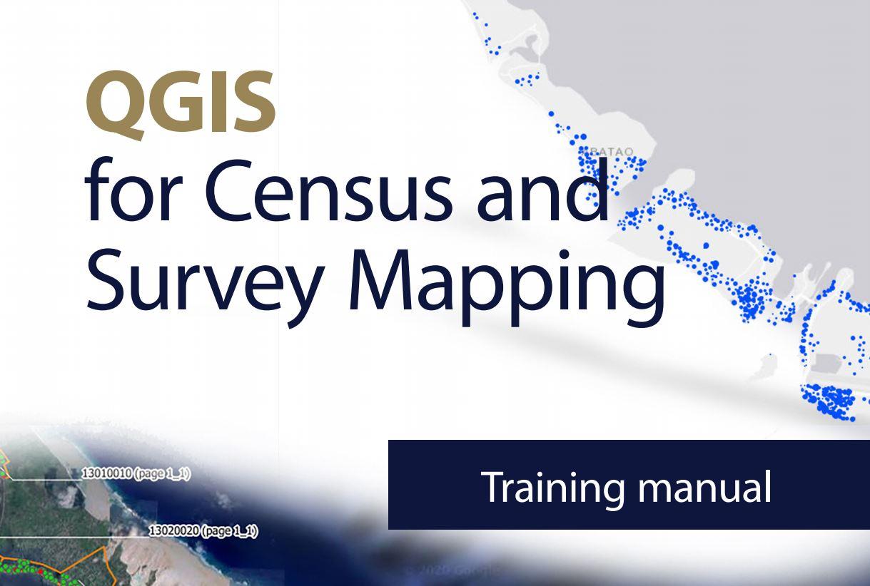
The Pacific Community (SPC) has just published a manual to help National Statistics Offices and other government ministries undertaking censuses and surveys make optimal use of QGIS, an open-source and free geographic information system (GIS) software.
GIS software was not used regularly by Pacific Island Countries and Territories (PICTs), mainly due to its cost: such software was generally purchased for large projects, and its use in the longer term was not always planned for in the countries’ budgets.
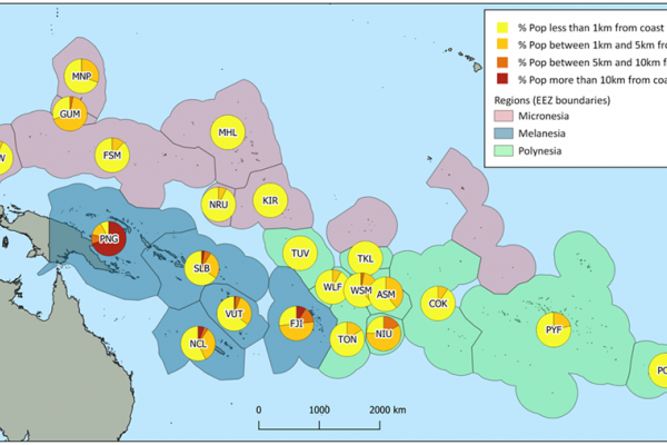
This has all changed now with QGIS, that rivals the main commercial products, and allows PICTs to handle most of the operations needed by their National Statistics Offices and ministries. These includes updating Enumeration Area (EA) boundaries, creating field maps for Enumerators and cleaning household locations collected during enumeration.
The QGIS for Census and Survey Mapping manual puts together experience and knowledge gained from the many trainings and workshops that the Statistic for Development (SDD) division of SPC has been providing to member countries and territories over the last ten years.
It includes exercises that will guide the user to perform all the necessary census and survey mapping tasks. By following a list of detailed step-by-step instructions, users should even be able to carry out complex operations with QGIS.
“Population censuses and surveys represent the largest undertakings of a national statistics offices in the region,” said Epeli Waqavonovono, Director of SPC’s Statistics for Development Division and previous Fiji Government Statistician. “A clean and concise manual like this one will help countries be more efficient when it comes to preparing and conducting their field operations, as well as mapping resulting statistical data,” he added.
SPC acknowledges the support of Australia’s Department of Foreign Affairs and Trade for ongoing financial support to regional census and survey activities; the numerous interns who tested and proofread the manual; and the QGIS development community for making such a good open-source package.
Media Contacts:
Phil Bright, GIS, Innovation and Dissemination Lead, [email protected]
Useful Links:
Download QGIS for Census and Survey Mapping Manual.