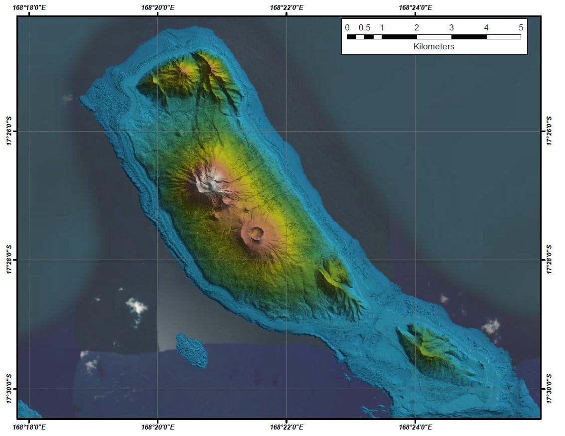
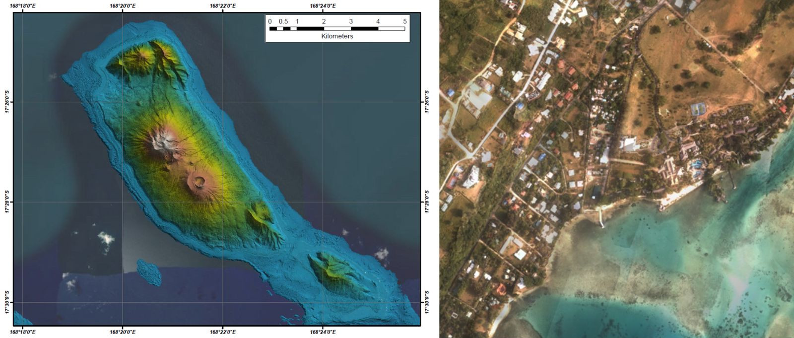
The Pacific Community (SPC) has completed lidar imagery acquisition for selected islands in Vanuatu and Tonga. The cost of the acquisition is around USD 2.4 million. Lidar data is high-resolution topography and bathymetry imagery that can be used for multiple applications such as ocean modelling, hydrographic mapping, infrastructure development, planning, etc. The lidar imagery was acquired through a United States contractor, Woolpert Inc., using an aircraft specially outfitted with high-resolution cameras that visited Vanuatu and Tonga around May 2022.
Several layers of the landscape can be viewed through lidar imagery. It allows vegetation to be removed so that only the ground surface is visible, including the buildings as a separate layer. The height and depth contours are also visible with a resolution up to 30cm accuracy. The Acting Director of Vanuatu’s Department of Urban Affairs and Planning (DUAP), Mr. Jeffrey Kaitip, stated: “The lidar data offers DUAP a tool to use in urban planning building on the concept Town Plans and Resilient Investment Plans we have developed in partnership with SPC. It’s the highest resolution of spatial data that will also be made available to other sectors to use such as ports development, risk assessments and land-use planning to name a few”.
Acquiring the lidar data was quite challenging particularly the coordination with various agencies in both countries, during both the covid lockdown period and the Hunga Tonga, Hunga Ha’apai volcanic eruption. The PREP Project Manager, George Beck, added “We had to comply with aviation requirements for the survey aircraft and had teams visiting remote locations to collect geodetic ground reference points for quality control checks on the lidar data. At the end of day its high-resolution imagery and I hope it’s used to support resilient development.”
The acquisition of lidar data was made possible through the World Bank-funded “Pacific Resilient Project” (PREP), implemented by SPC with the aim of strengthening early warning systems and promoting resilient investments with a budget of approximately USD 9 million. A key focus of the project is to provide support tools for risk-informed decision-making.
For further information, please contact: George Beck, Programme Manager at [email protected].