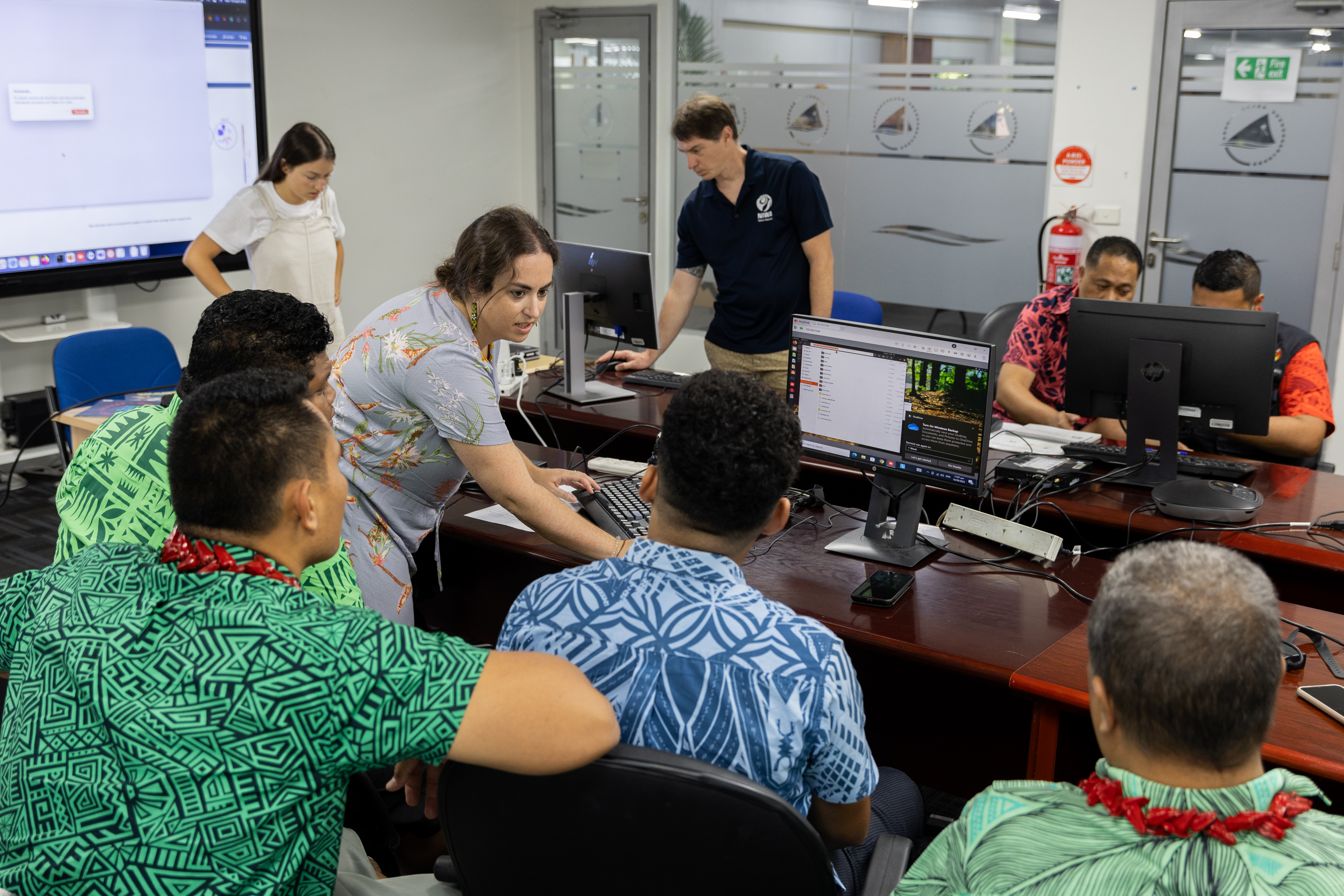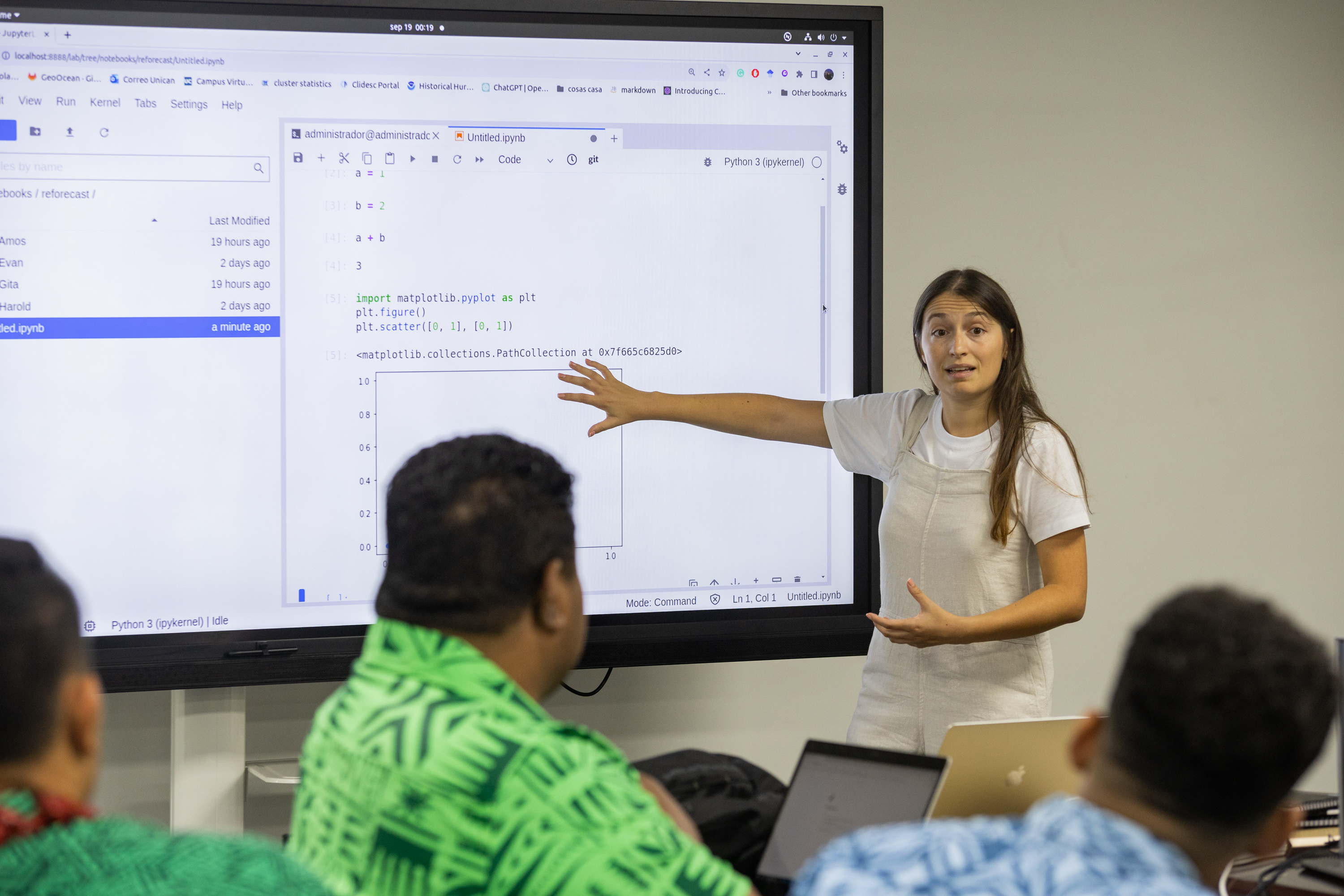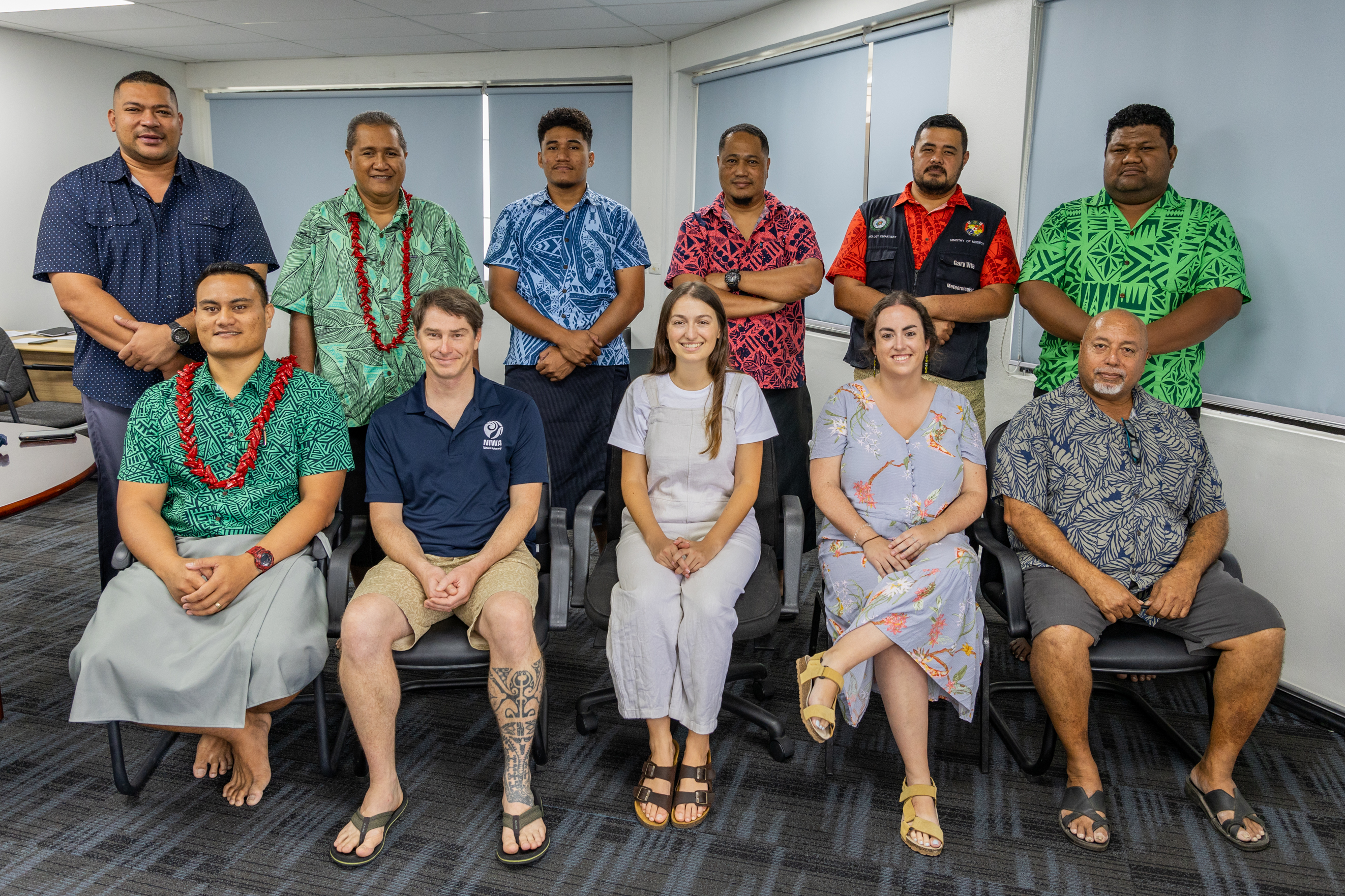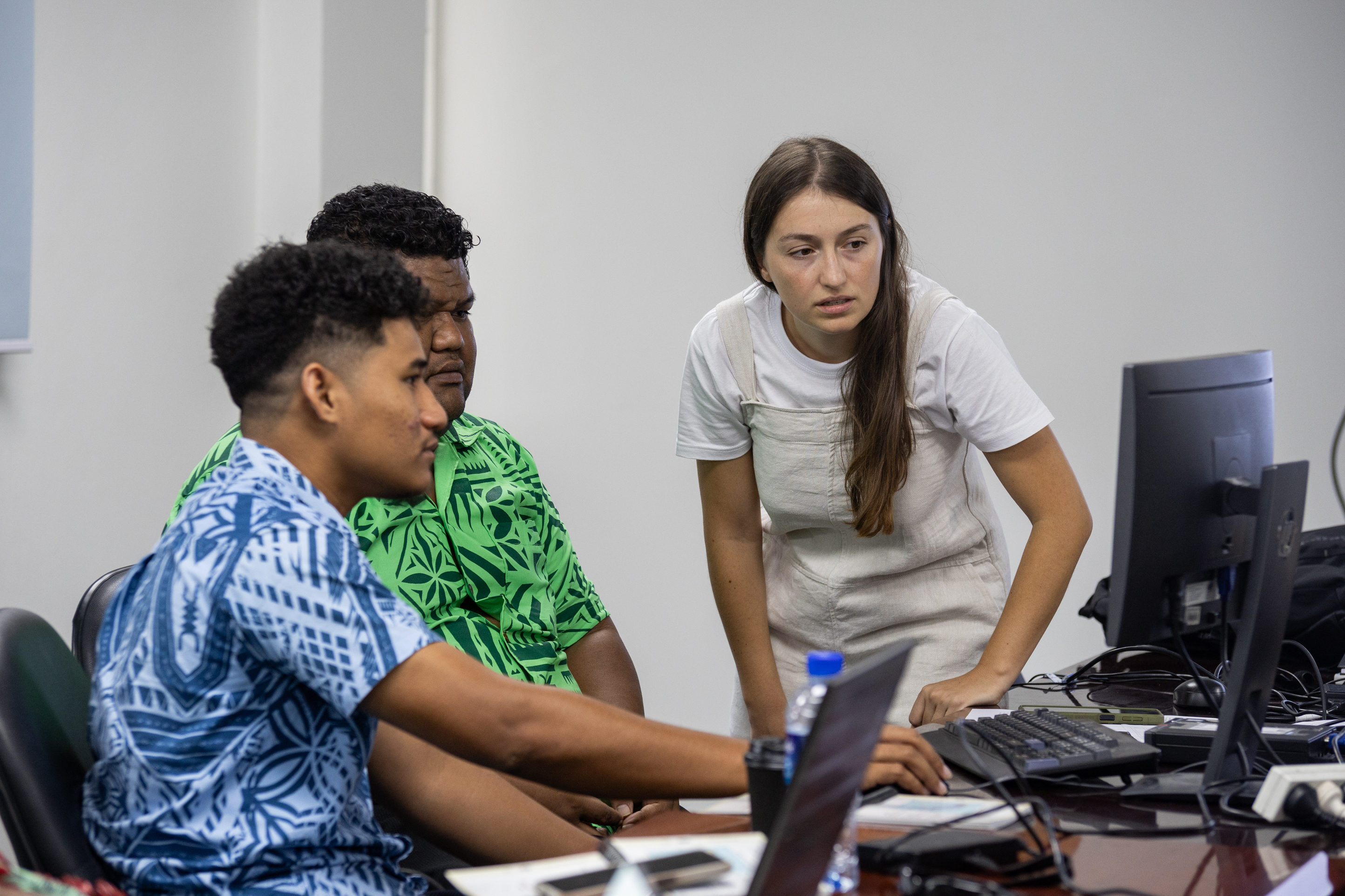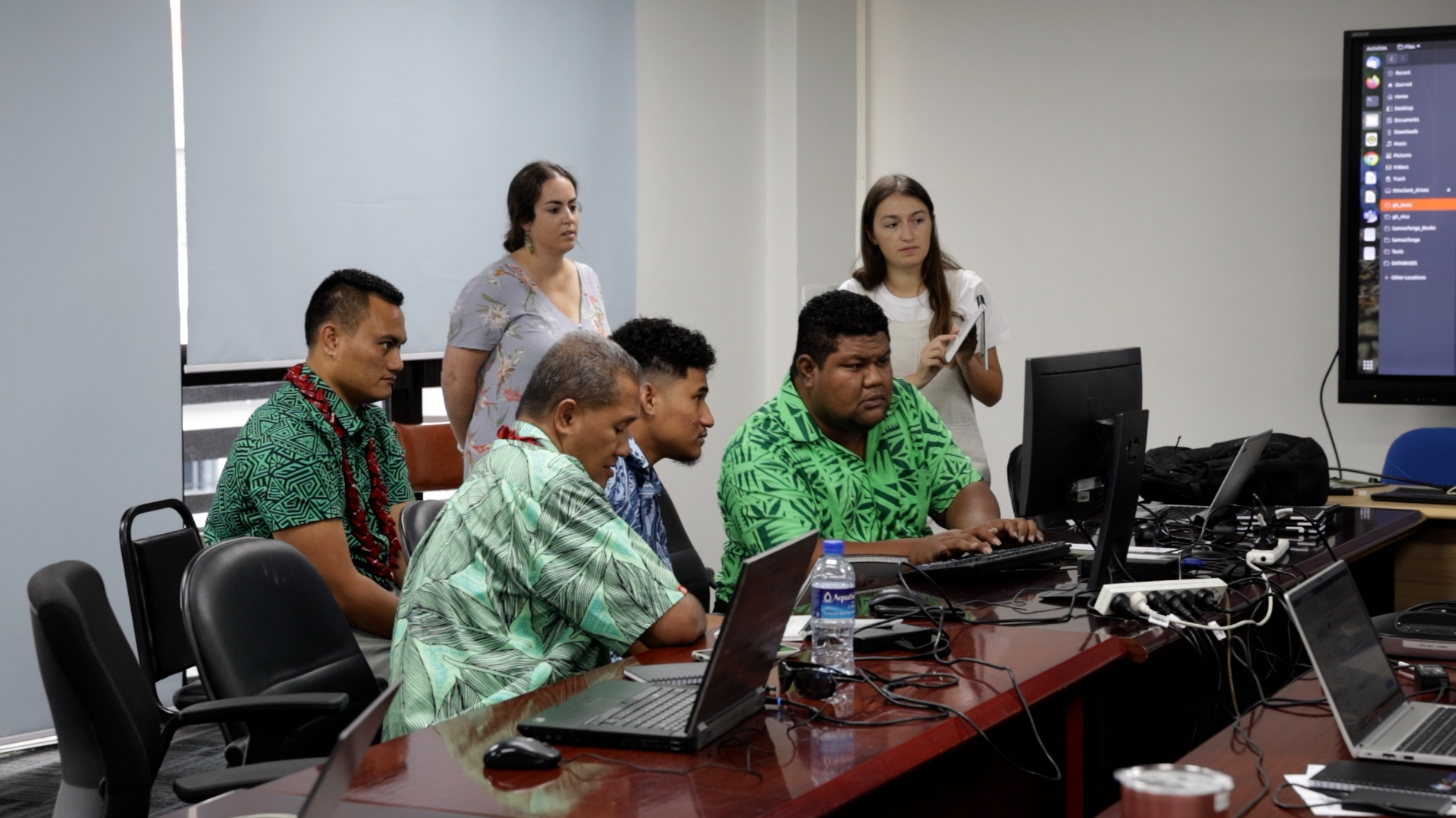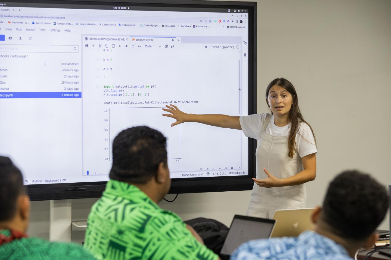
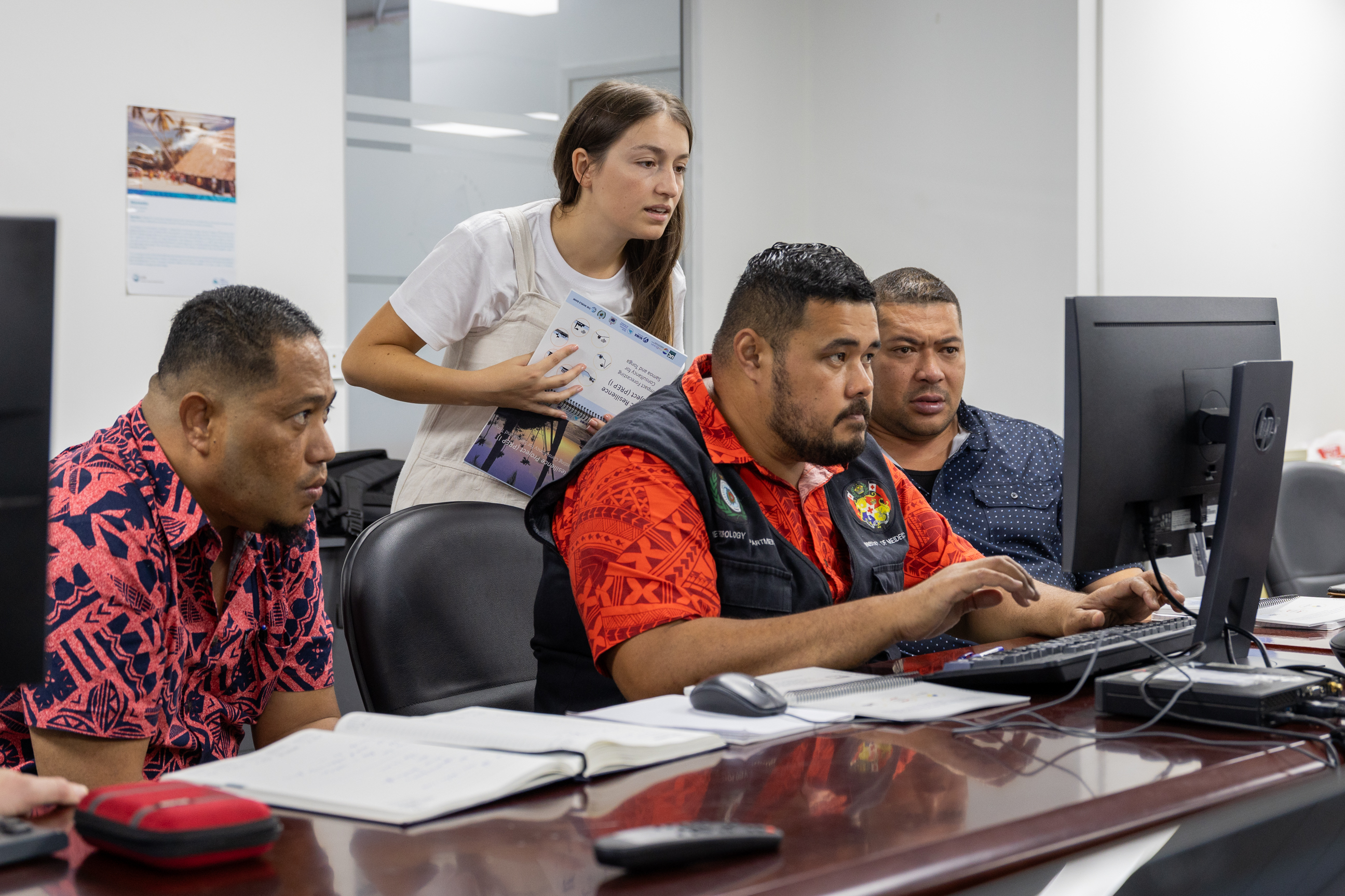
Key Samoa and Tonga Meteorological Services personnel attended the Impact-Based Forecasting training from 18 to 22 September 2023 in Nadi, Fiji. The workshop provided hands-on operational experience with the new impact-based forecast early warning system, which is now used in both countries.
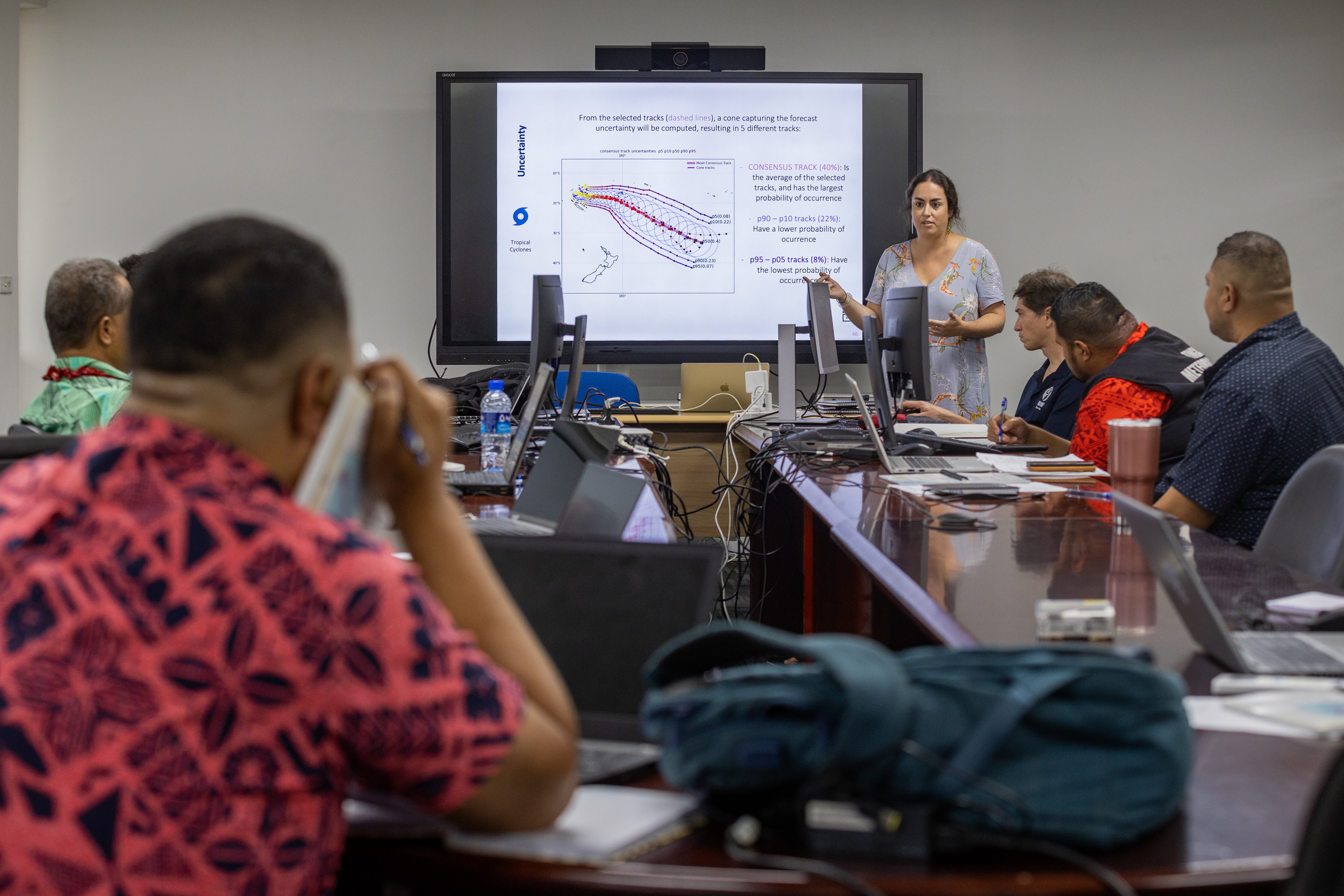
Developing this new early warning system began almost two years ago with the data collection and modelling of met-ocean data. The meteorological services in Tonga and Samoa can now forecast hazard events and predict impact scenarios of common hazards such as coastal flooding, tropical cyclones, swell waves, rainfall, and tsunamis. The early warning system can also undertake short-term forecasts that can assess the coming days and long-term forecasts that can cover a few months. A timely tool for the upcoming cyclone season.
The impact-based forecasting products are critical for issuing early warnings and improving preparedness and can potentially reduce the loss of lives and property damage. The asset exposure data collected for Apia and Nuku’alofa, through the Pacific Catastrophe Risk Financing and Insurance Initiative (PCRAFI) project, also identifies important assets such as buildings, roads, utilities and crops with estimated costs. This is useful for urban planning, including damage assessment and risk finance strategies.
 The Tonga and Samoa Meteorological Services have been using the impact-based forecast system since October 2022, and a few small hazard events have triggered the system since.
The Deputy Director of the Tonga Meteorological Services - Laitia Fifita, says the impact-based forecast system will improve their preparedness to quickly mitigate risks. “Tonga is one of the most vulnerable countries in the world to natural hazards. This forecasting capability will certainly allow us to quickly produce impact-based forecast warning products and services hazard impact maps and to issue timely early warnings to the community. We are grateful for the support provided through the SPC PREP project. It is through this work we are confident that will provide improved hazard risk information that will support better decision-making and planning in all sectors of Tonga and support the daily livelihoods of the People of Tonga.”
Silipa Mulitalo of the Samoa Meteorological Services sees the accessible asset data for buildings, roads, water pipelines and key infrastructure overlayed onto the hazard maps as the added value of the early warning system. “We can, therefore, estimate the cost of damage to buildings and crops and channel resources to areas that are likely to be more severely affected.”
The impact-based early warning system is a component of SPC’s Pacific Resilience Programme (PREP) funded by the World Bank. The programme is working with a budget of approximately USD 9 million. SPC has been working closely with the University of Cantabria, (Spain) and the National Institute for Water and Atmospheric Research (New Zealand) on this work. The early warning system will be integrated with the national multi-hazard early warning system upgrade implemented through the respective national PREP projects in Samoa and Tonga, also funded by the World Bank.
For more information, please contact:
George Beck, PREP Project Manager [email protected]
Eileen Turare, PCRAFI project Manager [email protected]