Established by the Pacific Region, for the Pacific Region
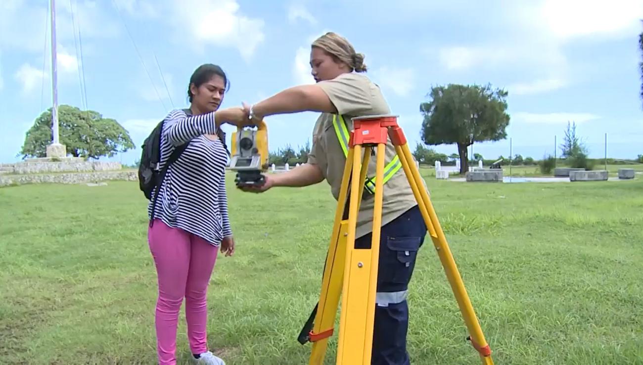
Geospatial information underpins the majority of economic and sustainable development activities in the world today. The services provided by Pacific Island geospatial scientists and surveyors contribute to the security and well-being of Pacific people, supporting numerous industries and sectors. These include natural resource management, civil engineering, climate change adaptation, disaster risk reduction, transport, land ownership, health, and agriculture to name a few.
In November 2014, a group of Pacific regional surveying and geospatial experts met in the margins of the annual Pacific Geospatial Information Systems and Remote Sensing (GIS/RS) User Conference in Suva, Fiji. It was at this meeting that the Pacific Geospatial and Surveying Council (PGSC) was first envisaged and a charter governing its mission and objectives was developed.