25 octobre 2023
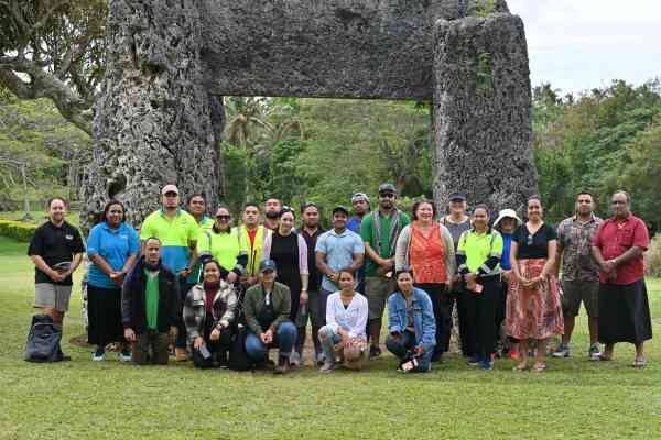
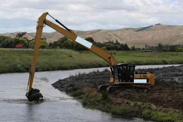
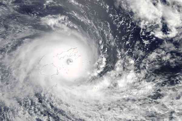
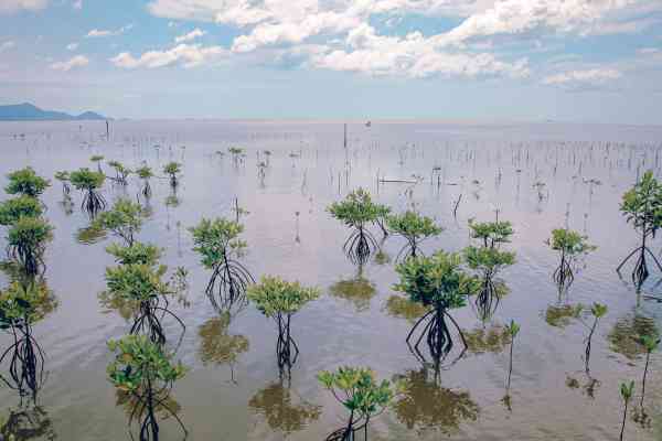
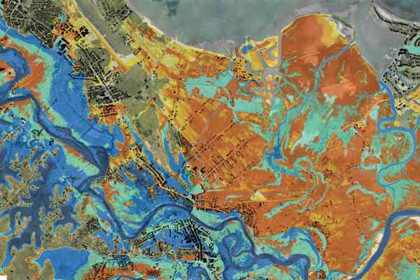
Digital Earth Pacific (DEP) is an operational earth observation system that uses decades of satellite data to show how local environments are changing over time. This includes changes to land cover and land use to better target humanitarian assistance after disasters, mapping of changing coastlines caused by climate change or storm events, understanding how mangrove growth has changed and many other products, without having to map this manually.
Watch Digital Earth Pacific's video and hear what people across the Pacific have to say:
Blog Category
Vidéo
Division
Corporate
Géosciences, énergie et services maritimes
Digital Earth Pacific