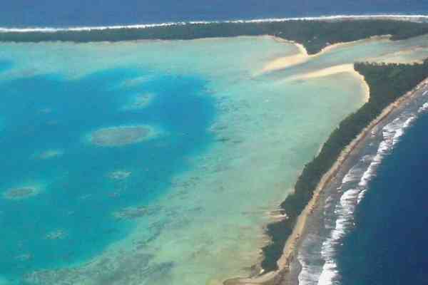
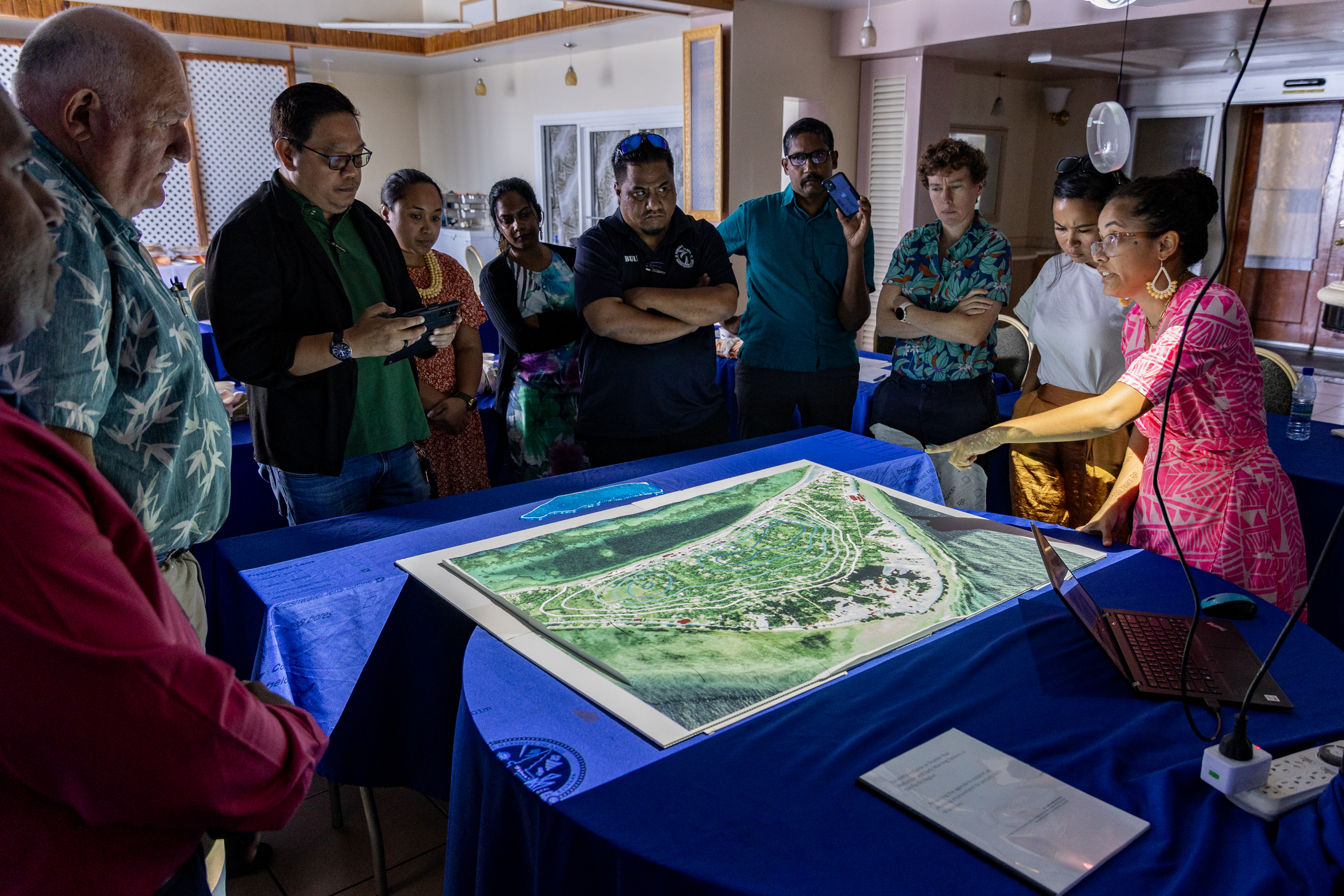
The 3-Dimensional Model developed for the Republic of the Marshall Islands (RMI) was officially handed over to the Government on Friday 27 October 2023, at a special ceremony in Majuro. The model is of Laura and captures the terrain on land as well as underwater. It shows the shape of buildings and infrastructure and landuse patterns.
The benefit of using a 3D model is that we’re able to visualise spatial coastal flooding scenarios with current and projected sea level rise, in line with the latest Intergovernmental Panel on Climate Change (IPCC) scenarios. It shows the integrated impact of sea level rise on sectors, in particular on food and water security and critical infrastructure. Laura is important for agriculture and is the primary groundwater resource on Majuro. The model shows how drinking water from the groundwater lens can be contaminated from saltwater intrusion thus hampering agricultural production on Laura and by extension the 30,000 people who live on Majuro.
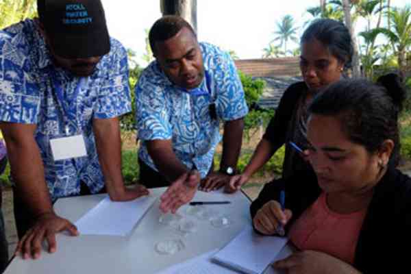
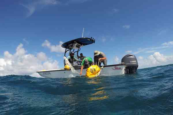
The 3D model was developed in 2022 using LiDAR imagery and geodetic surveys as well as ocean and groundwater modelling over the last few years. SPC has been working in collaboration with the Government of the Republic of the Marshall Islands to collect and analyse this data to develop the model. It is a very powerful tool that can be used to show how coastal inundation can impact the livelihood of the people.
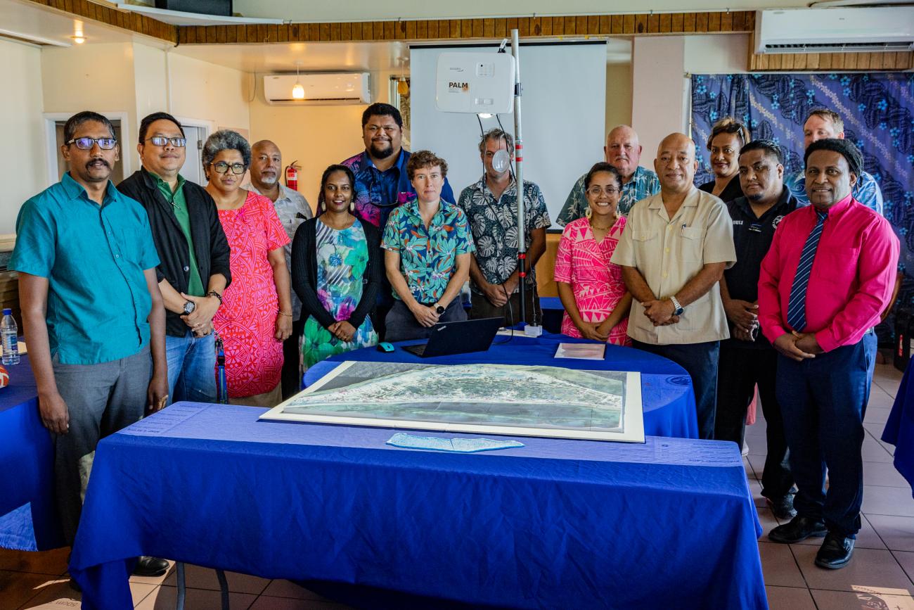
On behalf of Government, Chief Secretary, Office of the Chief Secretary, Ms Kino Kabua, stated “the model provides a visual story of how waves breaching the coastline can affect our lives just through normal high tides. The Pacific Islands Forum Leaders have already identified climate change as the single biggest threat to regional security. In the Marshall Islands, the impacts of climate-induced sea level rise is already evident and will worsen. It is therefore important to understand the risk of climate change for our country so that we can take the necessary steps to better plan and prepare in line with the recently approved National Adaptation Plan and Sea Level Rise Policy. We use this model to raise awareness with our people on the threat of climate change and why it is a national priority for us to invest in our future. We also use it with the international community to drive home the reality of what climate change means to us as an atoll country so that they understand the position we take on climate change”.
The SPC's Deputy Director, Disaster & Community Resilience Programme, Mr. Exsley Taloiburi, on behalf SPC Executive added “this 3D model has been presented at regional and international meetings and is such a powerful tool to tell our story. There has been a lot of advocacies from our climate negotiators but the visual impact, through this 3D model, brings it to life, to show how people in the Pacific will be affected and relevance to the loss and damage discussions.” He added, that “it is important that we use the science to inform resilient investments and mitigate these risks, as well as the need to access scaled up climate finance to adapt”.
At the recent UN General Assembly meeting in New York, two RMI Climate Envoys, Kathy Jetnil-Kijiner and Tina Stege, were introduced to the model and were able make the appropriate presentation to the targeted audience. The Government plans to showcase the model at the upcoming COP 28 meeting scheduled for 30 November to 12 December 2023 in Dubai. A similar 3D model developed by SPC for Tuvalu will also be presented at COP 28.
For more information contact:
Rhonda Robinson, Director, Geoscience, Energy and Maritime Division, Pacific Community | [email protected]