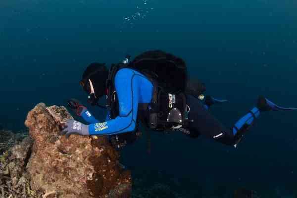
The SPC Georesources team has recently completed a geophysical survey of the Majuro and Ebeye lagoon’s in Marshall Islands period. The survey, carried out from April to June 2023, supports the Marshall Island Government in identifying sustainable sources of aggregates (sand and gravel), in the lagoons, that can be used for construction related projects.
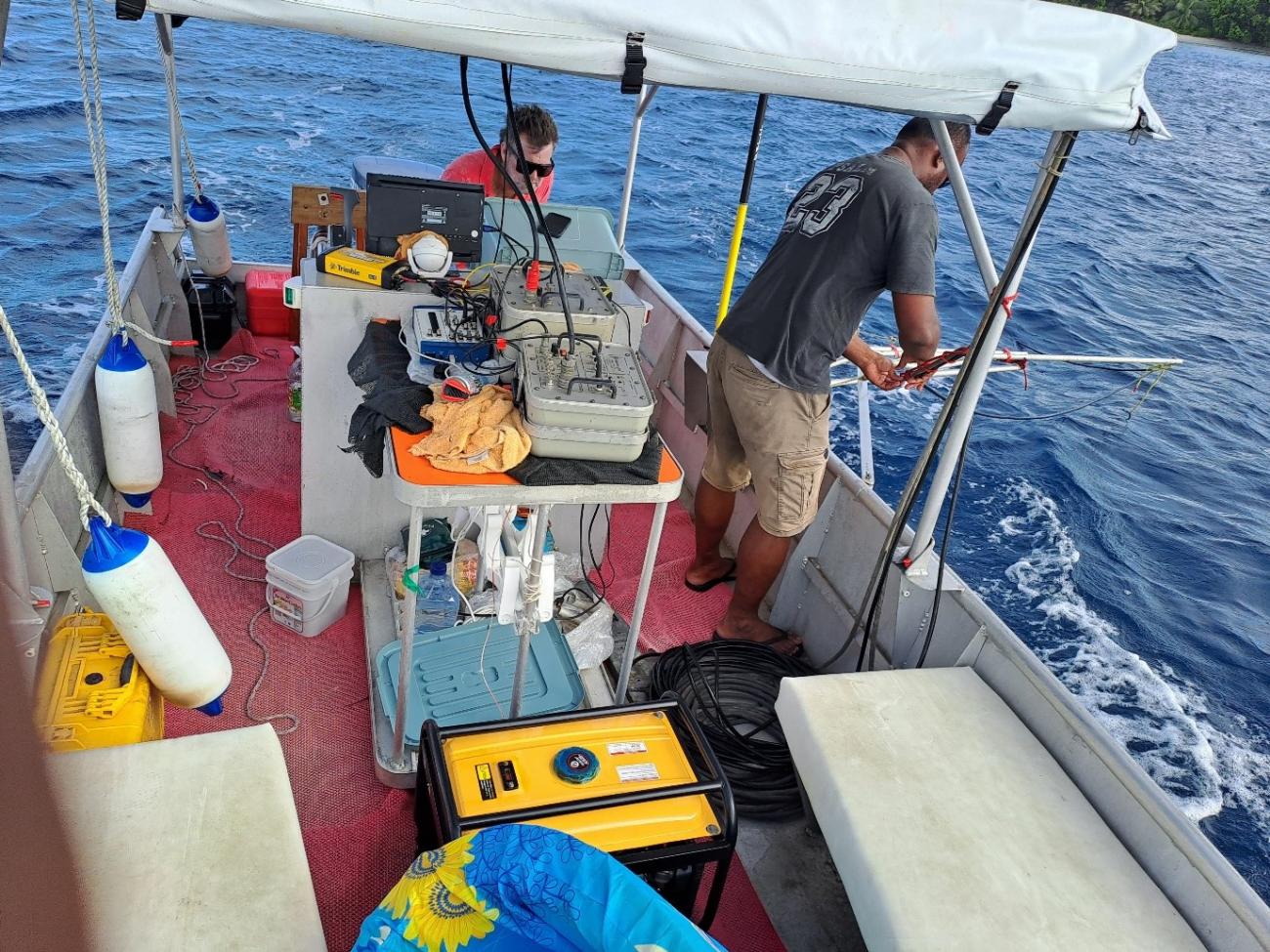
Pacific atoll nations face unique challenges with sourcing construction aggregates needed for their development, related to their limited geological resources, isolation, sensitive environments, and economic circumstances. The SPC implemented Pacific Resilience Project (PREP) is supporting the Government strengthen coastal management including sustainable extraction and use of aggregates. Lidar data was initially acquired covering the Majuro and Ebeye Islands, and together with the seismic survey of selected sites in the lagoon, will estimate location and volumes of good sources of aggregates in the lagoon. A Market Assessment will follow to determine sustainable options for extraction including costs for the large and small construction work.
This work commenced almost 2 years ago with an environment and social assessment of aggregates including the complex legal and traditional ownership. The Secretary of Ministry of Works, Infrastructure and Utilities, Mr. Jeffersen Barton, stated “The limited supply of aggregates is one of the biggest challenge facing the Marshall islands construction sector. Any construction requires a lot of aggregates and the supply issue need to be addressed. One of the solution is there is a good supply of of sand in the in the Majuro lagoon including the atolls and this is perhaps the most viable option. The cost of constructing the Ebeye Seawall, under the World Bank PREP II project, will be significantly reduced if the aggregates are sourced locally. Therefore, the SPC geophysical survey will identify sites where aggregates can be sourced”.
SPC will make recommendations to RMI Government taking into account key findings of the technical surveys for better management of the aggregate resource. Coastal modelling of wave and current in and around Majuro atoll was also undertaken by SPC Oceans Programme to support hazard and risk mapping and movement of sediment in the lagoon. This work is part of the PREP project, implemented by SPC focusing on Marshall Islands estimated at a cost of around USD4 million.